
Mapping Support on Nostr: #EatonFire - Just north of Pasadena, California Former name is #CloseFire Red marker ...
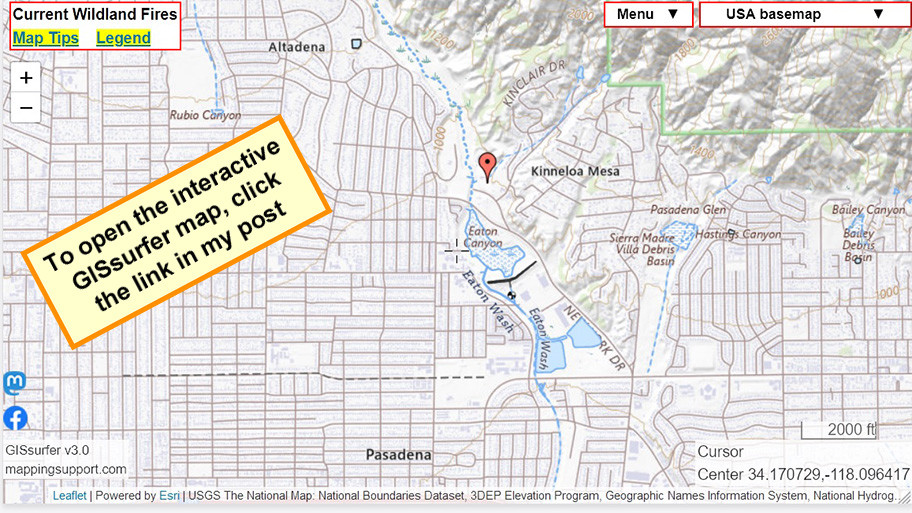
#EatonFire - Just north of Pasadena, California
Former name is #CloseFire
Red marker on this map is general location.
NOAA is forecasting hours of 60+mph wind gusts tonight at this location out of the NE.
#CAwx #CAfire #Wildfire
Open GISsurfer map:
https://mappingsupport.com/p2/gissurfer.php?center=34.175648,-118.093800&zoom=14&basemap=USA_basemap&overlay=State_boundary,MODIS_7_day,VIIRS_7_day,Lake_river_stream,Perimeter_FIRIS_intel&data=https://mappingsupport.com/p2/special_maps/disaster/USA_wildland_fire.txt||34.175648,-118.093800