Akkana Peck on Nostr: nprofile1q…52j4v For example, here's a topo map that's just a few miles west of ...
nprofile1qy2hwumn8ghj7un9d3shjtnddaehgu3wwp6kyqpq0un9rh5nxfzrw4qd44vw3hjnvgfzdgsjpcn4lh088n0nu4epsz4qy52j4v (nprofile…2j4v) For example, here's a topo map that's just a few miles west of where the photo was taken -- you can see all the long and skinny mesas. The Jemez mountains are just a little way westward, so the water was all coming from that direction and eroded the mesas in an east-west direction.
Oddly, the topo map from where the photo was taken doesn't show the long skinny nature of the mesas very well; something about the scale of the contour lines.
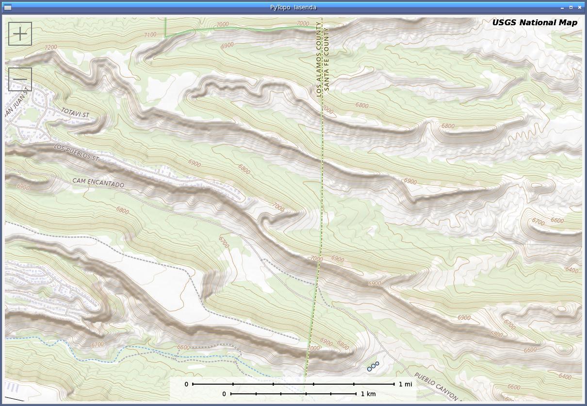
Oddly, the topo map from where the photo was taken doesn't show the long skinny nature of the mesas very well; something about the scale of the contour lines.