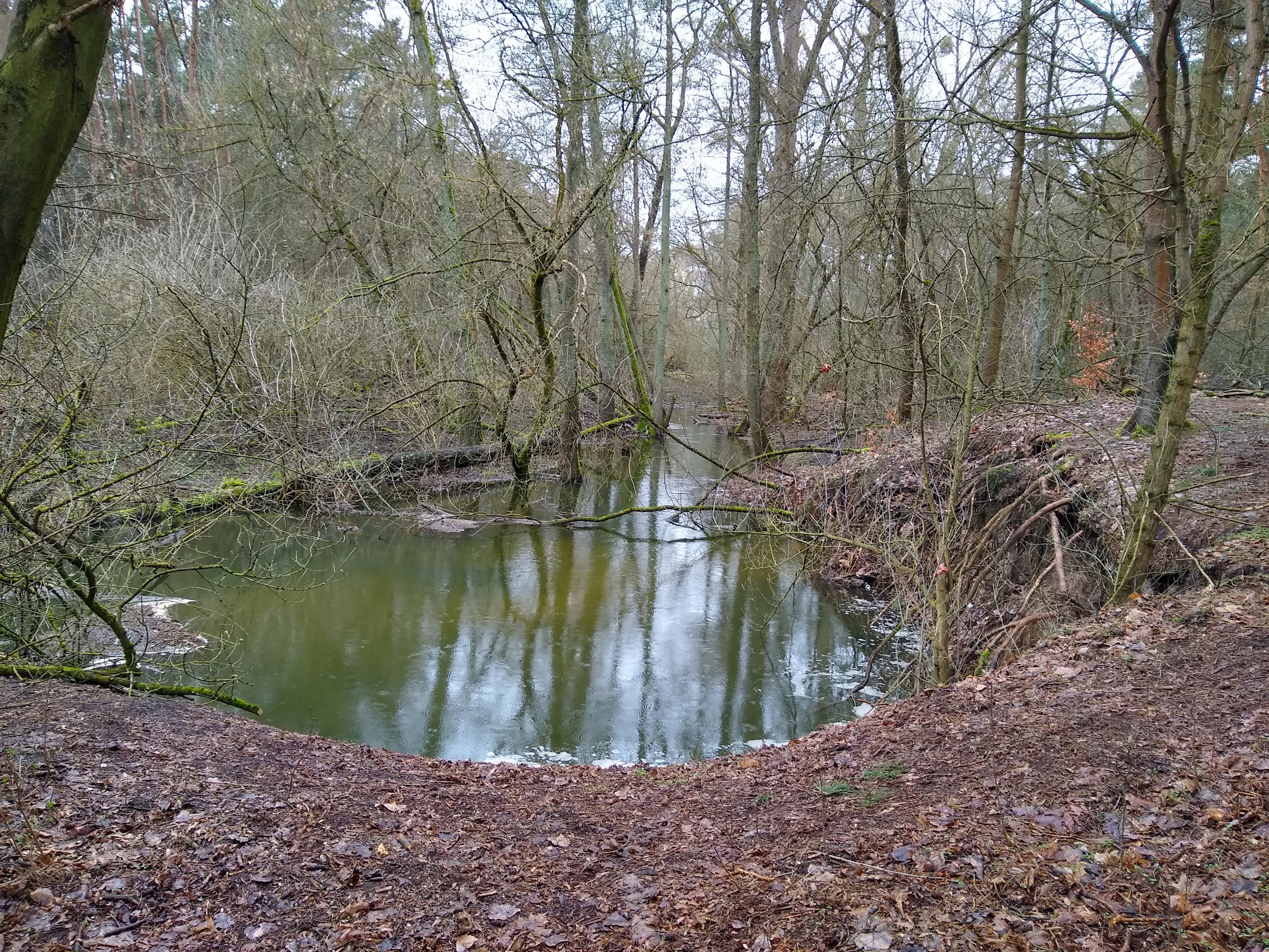
Michał Górny (he/they) ∞🙀🚂🐧 on Nostr: #Wirynka #river, on a trail near #Puszczykowo, filled to the brim. Warta is also ...
#Wirynka #river, on a trail near #Puszczykowo, filled to the brim. Warta is also quite high.
I remember that, a few years back, the water overflowed to the point of washing up the bridge. The administration of #GreaterPoland National Park closed the trail down for a long period of time. Of course, the sign was put just ahead of the bridge, about 1.5 km from the point where the trail branched off.
The cyclists would carry their bikes down and carry them through the shallow river. Today, the water level is about 2 m above that.
The best part is, there's another, concrete bridge 1 km further away (in road distance). But the Park didn't decide to let tourists know about that.
geo:52.3051,16.8865?z=15
https://www.openstreetmap.org/?mlat=52.3051&mlon=16.8865#map=15/52.3051/16.8865


