
Mapping Support on Nostr: Interactive #GIS map showing public access points to California beaches. Click any ...
Interactive #GIS map showing public access points to California beaches.
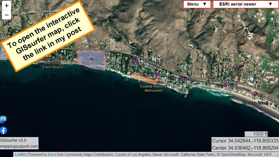
Click any pink dot for more info. Scroll to the bottom of the display - sometimes there are links to pics.
Map opens at Lechuza Beach. This is a public beach even though City of Malibu removed access signs. See story: https://malibutimes.com/city-of-malibu-removes-mrca-coastal-access-signs-near-lechuza-beach
#California #Geospatial #Maps #Mapping #Leaflet #ArcGIS #WebMap
Open #GISsurfer map: https://bit.ly/3NXV8cG